Heraclion, Ancient Egypt, 100 BC
Heracleion also known by its Egyptian name Thonis ( and sometimes called Heracleion-Thonis, was an ancient Egyptian port city located near the Mouth of the Nile, about 32 km (20 mi) northeast of Alexandria on the Mediterranean Sea. It became inundated and its remains are located in what is now known as Abu Qir Bay, currently 2.5 km off the coast, under 30 ft (9.1 m) of water. The sanctuary of Neith of Sais was located in Thonis. A stele found on the site indicates that late in its history the city was known by both its Egyptian and Greek names.
The legendary beginnings of Thonis go back as early as the 12th century BC. Its importance grew particularly during the waning days of the pharaohs. Thonis is mentioned by many chroniclers in antiquity, including Herodotus, Strabo, and Diodorus. The city was said by Herodotus to have been visited by Paris and Helen of Troy before the Trojan war began.
Thonis was originally built on some adjoining islands in the Nile Delta. It was intersected by canals with a number of harbors and anchorages. Its wharves, temples, and tower-houses were linked by ferries, bridges, and pontoons. The city was an emporion (trading port) and by the Late Period it was the Egypt's main port for international trade and collection of taxes.
Over time, the city was weakened by a combination of earthquakes, tsunamis, and rising sea levels. At the end of the second century BC, after a particularly devastating arthquake, the ground on which the central island of Heracleion was built succumbed to soil liquefaction. The hard clay turned rapidly into a liquid and the buildings collapsed into the water and Egypt's major port disappeared beneath the waves. Although a few residents remained along the coast, what was left of the great city was reduced to nothing but a coastal village.
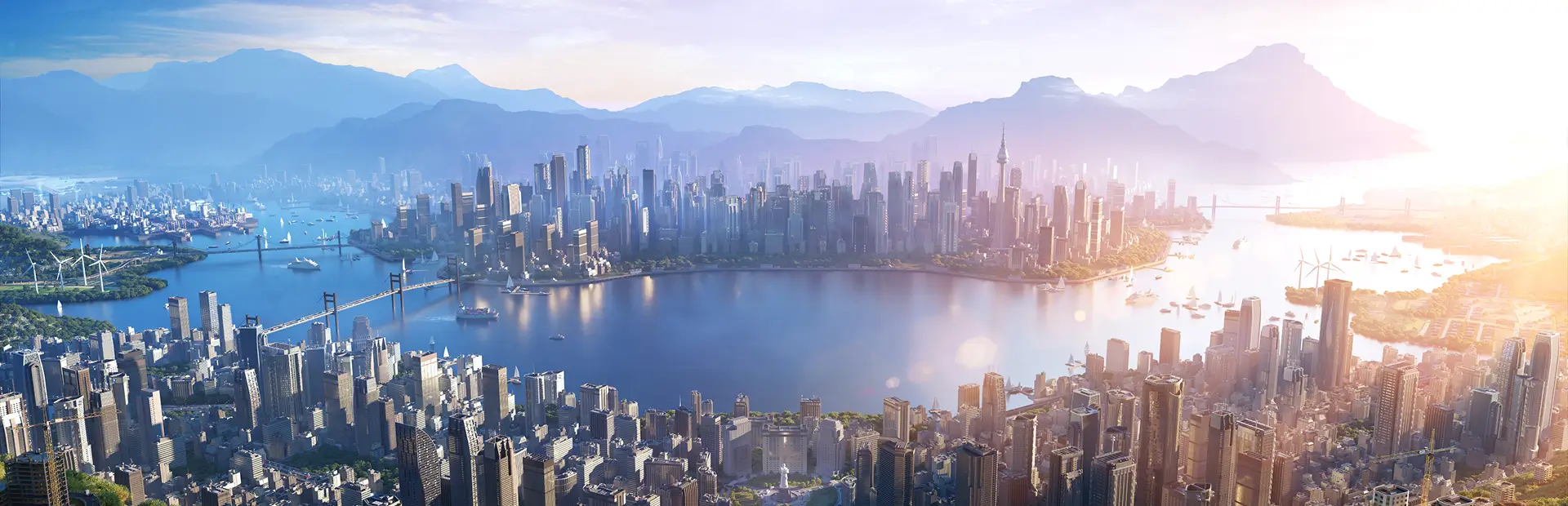
This map is based on what the area looked like before mother Earth took a swipe. This is what Heraclion looked like before it's geograohy sunk beneath the waves.
Installation:
Map Information: THEME: European (I'll come back and edit this later, when the official editor is out and we can have more themes to place) CLIMATE: -5 - 35 C LATITUDE: Northern Hemisphere BUILDABLE AREA: 52% OUTSIDE CONNECTIONS: All Connections available. Road. Rail. Sea. Air. Power. NATURAL RESOURCES: Fertile land, Oil, and Ore cover most of the map.
Cheers, AncientSwan