Lake Ōnoke, New Zealand
BepinEx is not required to play this map.
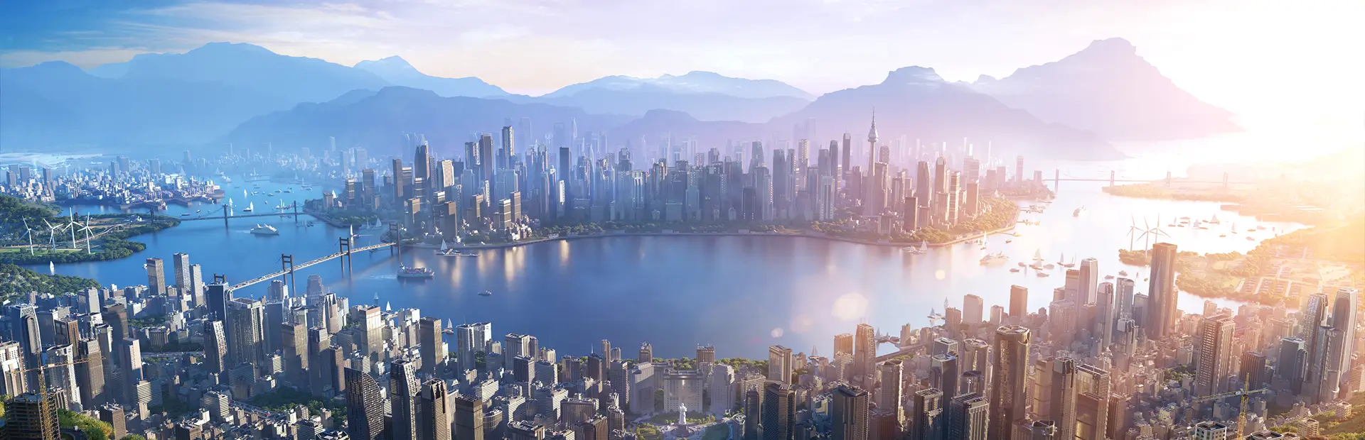
Welcome to Lake Ōnoke, a coastal lake located around 30 km from east-southeast of Wellington, on New Zealand's North Island. This region is rich in agriculture and has direct access to the coast into Palliser Bay and the Cook Straight. (Map by RaftermanNZ - Youtube.com/@RaftermanNZ)
Map overview video - https://youtu.be/ssH22OjwqPA
Installation:
- Extract the files in your folder “AppData/LocalLow/Colossal Order/Cities Skylines II/Maps"
- If maps doesn't exist in this folder, create one!
- If the script I used doesn't work with Thunderstore, you must manually install.
- The map will be available in the Custom Map tab in the New Game menu after installation.
Map Information:
- Map includes air, sea, rail, road, water, and electric connections.
- Climate is San Francisco Temperate to make it authentic to the real life location.
- Not sure how to change default latitude, so North American will have to do.
- High voltage lines are BURIED and span the map, to use them you must connect to them either above ground or below.
- Low voltage powerlines also span the map, some may be disconnected at points, or may be buried. If you're having trouble connecting roads to the highway, make sure there's no powerlines in the way.
- Map includes Easter eggs and stylistic choices that may not be true to life. Some creative liberty was taken, such shipping connections and rail networks.
- This location was chosen because of its beautiful landscape and abundant buildable land.
- Road networks and farmland is heavily inspired by the IRL, but may not be precise.
Resources:
- Map includes abundant agriculture resources, water, and some oil and ore resources as well.
Special Notes:
- Use at your own risk, performance is NOT guaranteed! The map has an extremely heavy use of trees. Because of the heavy use of trees/bushes, your simulation speed may suffer depending on your hardware.
- Map was created from scratch from high-resolution lidar, there may be errors or unintended issues, use at your own risk.
- I'm doing this for fun, and it takes a lot of work and time, but I don't take it seriously. Nor should you.
- Water has been tested and works. However, due to the current work in progress nature of the CS2 map editor, please use at your own risk as sometimes the water physics take a very long time to play out.
- Known issue with the main river not completely flowing in the right direction. While it mostly flows into the lake, the northern portion doesn't always go down stream and flows off of the map.
Show some love: If you like the work I did here, consider checking my YouTube channel out and giving me some support! From Cities Skylines to DCS, it's a wonderful little place to catch some interesting content
https:/www.youtube.com/@RaftermanNZ